
Veezer x Mont Blanc Lines – Experiment
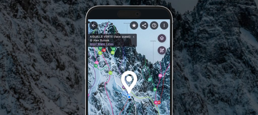
A selection of photos from the Mont Blanc Lines project (Alex Buisse) is now available in the Veezer app on an experimental basis. The photos have been georeferenced and are offered in high resolution to allow detailed visualization and precise tracking of your position on the photo with the app. Photo of the Aiguille Verte […]
Veezer Joins Presles Climbing Guide in the OmegaRoc App
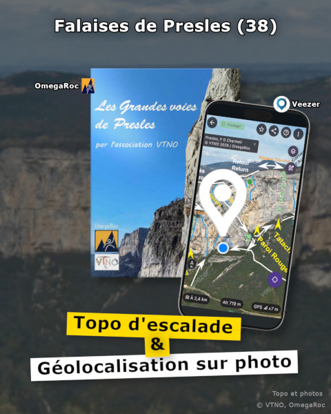
The Presles site in the Vercors is a landmark for multi-pitch climbing in France: with its dizzying 200-meter-high cliffs stretching endlessly above the Bourne Gorges, the location is unique and has long attracted climbers. The site’s guide, created by the VTNO association and published digitally in the OmegaRoc app, now integrates Veezer‘s photo-based geolocation feature […]
La Tour sur Tinée: Geolocation on Photos to Complement Climbing Topos
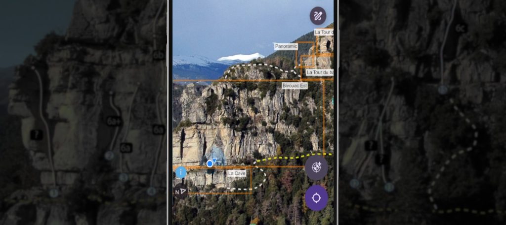
In the backcountry of the French Alpes-Maritimes, the Rocher des Baus in La Tour sur Tinée has become a must-visit in recent years for adventurous climbers on sandstone terrain. The digital topo guide for the Rocher des Baus, available in the OmegaRoc app, now integrates geolocation on photo with Veezer to make it easier to […]
The 100 Most Beautiful Multi-Pitch Routes in France

A selection of photos from the guidebook, made available in the Veezer app.
Rock climbing at Envers des Aiguilles de Chamonix with Veezer app

Using Veezer app locate the start of the routes and adjust your itinerary.
Integrate Photo-Based Geolocation into Your Application

A new feature to use Veezer as a software component.
Proof of Concept: Volopress Ski Touring Routes Geolocated on Photos

Feedback on Integrating Toponeige Collection (Volopress) Route Photos into the Veezer App
Veezer Update: Annotate Published Photos

New drawing and tracing features for protected content.
Finding Your Way at a Climbing Site
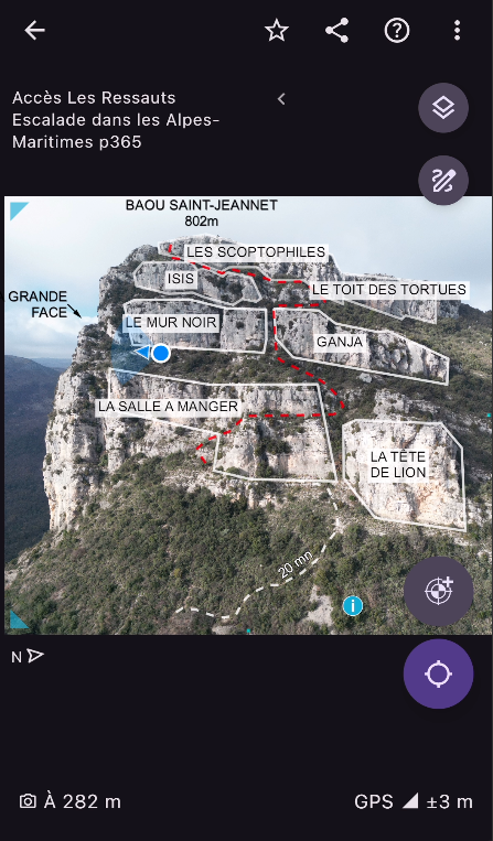
A Digital Complement to Your Paper Guidebook.
Geolocated mountain ski route on photo

A selection of routes from the book Neiges du Sud in the Veezer app.