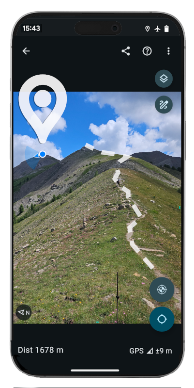
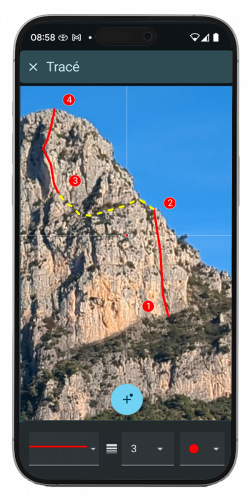
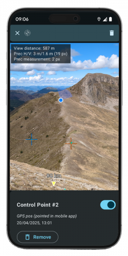
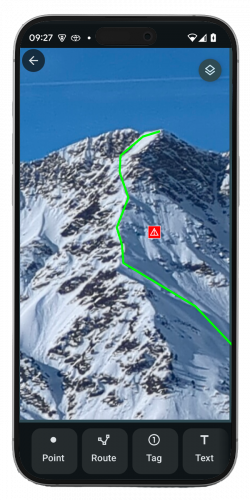
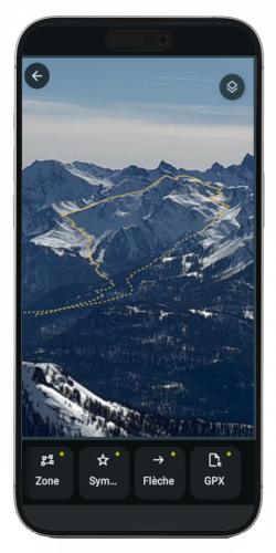
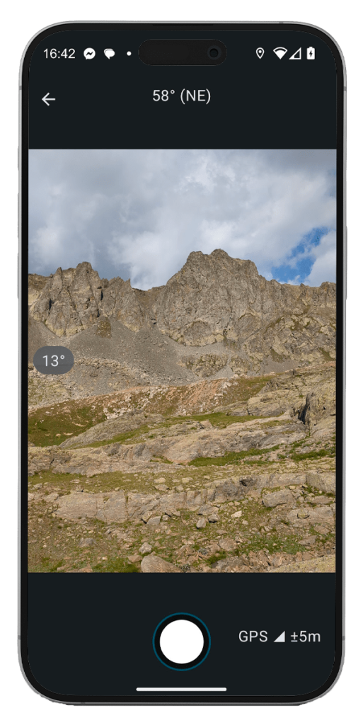
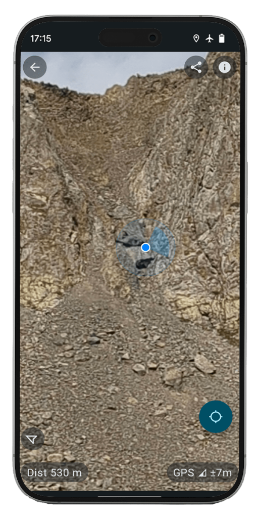
Veezer photos are precisely georeferenced –geographic position, viewing angles, optical properties– allowing you to accurately locate any geographic object within the image.
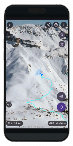
During an outing, Veezer photos help you understand your position within the surrounding landscape and identify natural obstacles (rocky outcrops, snow, vegetation, scree) to plan or adjust your route.
Your GPS track can be automatically displayed on the photo to analyze or share your route.