
The Presles site in the Vercors is a landmark for multi-pitch climbing in France: with its dizzying 200-meter-high cliffs stretching endlessly above the Bourne Gorges, the location is unique and has long attracted climbers.
The site’s guide, created by the VTNO association and published digitally in the OmegaRoc app, now integrates Veezer‘s photo-based geolocation feature to make it easier to locate accesses and sectors at the climbing site.
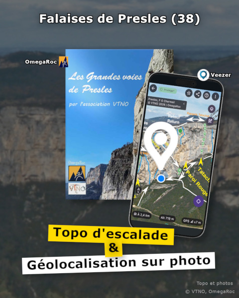
Due to their size, the cliffs of Presles have a complex topology: over 280 multi-pitch routes spread across a dozen sectors, 5 different access points—from the top or the bottom—ledges, rappels, and steep trails…
With the overview maps of the guide in the Veezer app, photo-based geolocation helps climbers easily identify accesses and sectors, allowing them to navigate the site with greater peace of mind.
This new feature, developed in partnership with OmegaRoc and the VTNO association, is also an opportunity to test its reception within the climbing community and gather user feedback.
OmegaRoc is the specialist in ethical climbing guides, a pioneer in digital climbing guides, offering guides for over 800 cliffs.
The VTNO (Vercors Territoire du Nord Ouest) association has managed and protected the climbing cliffs of the Bourne Gorges since 1990.