
With precise geolocation on photos showing the route paths, Veezer makes it easy to locate their starting points and adjust your itinerary.
Climbing session around the Envers des Aiguilles de Chamonix refuge on the weekend of July 14th with the Veezer app. Thanks to Matthias for the videos and the feedback!
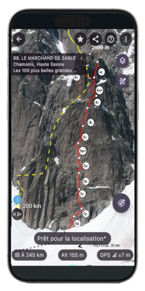
Preview of the photo of the Marchand de Sable route used during the outing,
the geolocation accuracy is within a few meters.
Veezer Photo credits and topo:
- Bienvenue au Georges V | camptocamp, CC BY SA 3.0 license
- Marchand de Sable | Les 100 plus belles grandes voies en France, Olivier du Chastel, Editions du Chemin des Crêtes
The photos were imported and georeferenced with Veezer Plus
to enable precise geolocation on the image.
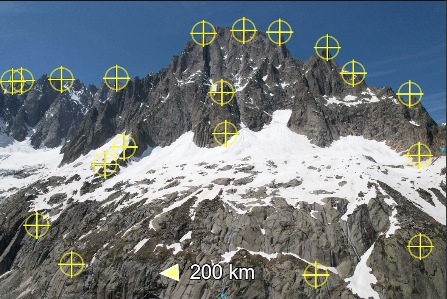
The route traces and annotations were transferred from the topo.
Veezer, the mobile app for tracking and geolocation on photos