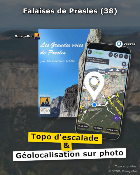
Veezer Joins Presles Climbing Guide in the OmegaRoc App
The Presles site in the Vercors is a landmark for multi-pitch climbing in France: with its dizzying 200-meter-high cliffs stretching endlessly above the Bourne Gorges,

The Presles site in the Vercors is a landmark for multi-pitch climbing in France: with its dizzying 200-meter-high cliffs stretching endlessly above the Bourne Gorges,
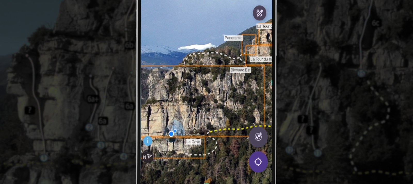
The digital topo guide for the Rocher des Baus, available in the OmegaRoc app, now integrates geolocation on photo with Veezer to make it easier

It is in Saint-Paul de Vence that Pixmap Studio develops Veezer, the app dedicated to mountain enthusiasts, and it’s a joy to discover the connections

When you start using the Veezer app intensively on a phone to prepare photos, you might wonder if a desktop tool would be better suited

A new feature to use Veezer as a software component.
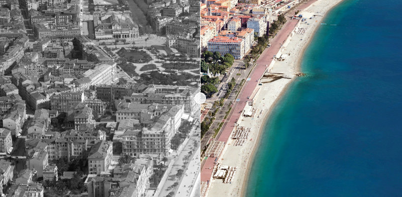

A new milestone to innovate and collaborate with the region’s key players
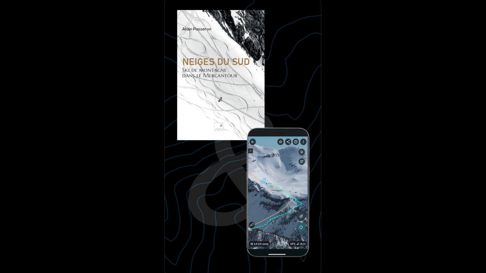
Geolocated mountain ski route on photo
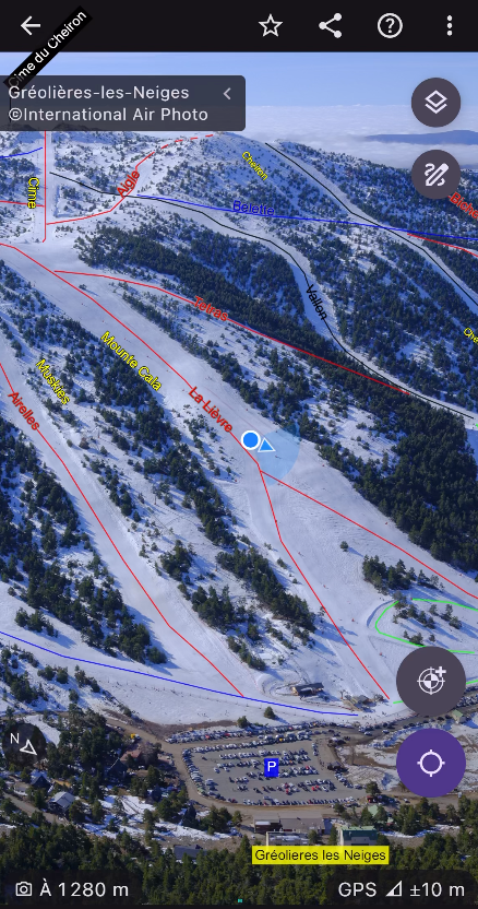
Geolocation on aerial photo with current snow conditions and piste map
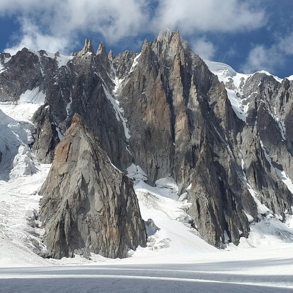
A new feature to protect published content
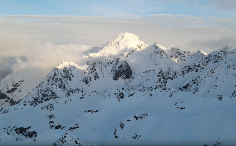
Use photos taken with a DSLR, drone, or any other device